QGIS Plugins

Extend the rich QGIS framework with custom-tailored plugins meeting your specific needs. Use our extensive experience developing QGIS plugins.
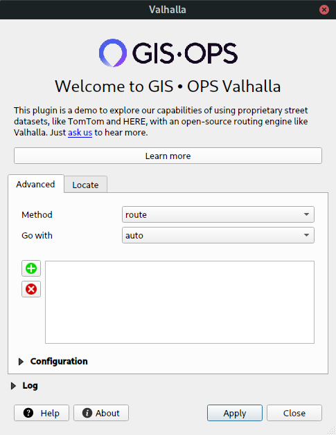
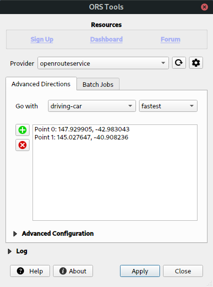
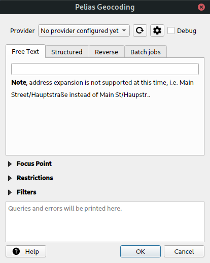
QGIS repository

Plugin Repository

We provide our private QGIS Plugin repository where you find a collection of useful demo plugins complementing our products.

Custom Maps

As the co-founders of boundlessmaps, we have a very good understanding of mapping and deliver high-quality vector maps for your publishing needs.

OPTIMIZE QGIS WORKFLOWS WITH CUSTOM PLUGINS

Trust our extensive experience in developing QGIS Plugins, which let you optimize and automate common QGIS tasks or even complement core functions with missing functionality for your business requirements.

Custom UI Plugins

Native dialogs with any customization

  • Full customizability • Thanks to the QGIS graphical framework, plugin UIs can be fully customized, even with your existing CSS
  • Feature-rich • With the full power of Python, QGIS Plugins are as versatile as web apps minus the complications of the web
  • Cross Platform • QGIS Plugins by default feel native on any platform QGIS runs on

Processing Plugins

Fully incorporated into QGIS workflows

  • Toolbox • Create your own set of algorithms in the familiar QGIS Processing Toolbox
  • Graphical Modeller • Processing Plugins can be used to create complex workflows with drag'n'drop
  • Interoperability • Processing algorithms can be called in the code of other plugins and algorithms

EXPLORE OUR QGIS PLUGINS

See below a selection of the QGIS Plugins we developed. Some are hosted on the official repository and can be installed without further setup. Others are hosted on our private QGIS Plugin repository, which you can add to your QGIS settings.

VALHALLA PLUGIN

UI & PROCESSING

Our QGIS Valhalla Plugin complements the functionality of our demo web app for QGIS. Activate the plugin and route through Vienna using TomTom, HERE and OSM data.

ORS TOOLS PLUGIN

UI & PROCESSING

In collaboration with HeiGIT gGmbH we developed a powerful interface to interact with OpenRouteService's advanced Directions, Isochrones and Matrix APIs.

PELIAS PLUGIN

UI & PROCESSING

Pelias is an open-source geocoding engine. By default geocode.earth and openrouteservice are set up, but you can easily add your custom Pelias installation.

MYFIBER PLUGIN

UI

This fairly simple plugin was developed for corRelate GmbH in Austria and complemented their geovisualization techniques to pull geometries from their private servers directly into QGIS layers.

ORDER YOUR CUSTOM MAPS

Custom beautiful maps are our passion, which is why we founded boundlessmaps.com. We developed our own sophisticated mapping framework with scientifically proven automated label placement algorithms, saving both valuable time and resources.

TOPOGRAPHIC

Data makes maps


  • Open datasets • We know almost a plethora of global & regional open datasets ready to enrich your custom maps
  • Data-driven • Maps tell stories and the stories are only as good as the data which feed them
  • Advanced Styling • We employ multiple strategies to make maps come to life, depending on your time and budget

GIS • OPS UG

Friedrichstr. 123
10117 Berlin

Telephone

TOP